MH-370, continúa investigaciones

AW | 2019 02 20 23:57 | AIR INVESTIGATION / AVIATION SAFETY
 El misterio del vuelo MH-370 continúa sobrevolando las investigaciones
El vuelo MH-370 de la aerolínea Malaysia Airlines desapareció el 8 Marzo 2014 supuestamente en el Océano Índico. Avances en las investigaciones revelan que el Capitán Zaharie Shah siguiera una ruta casi idéntica que había sido borrada del disco duro de su simulador de vuelo en su casa, estas son revelaciones de una investigación.
El vuelo MH-370, que viajaba desde Kuala Lumpur (Malaysia) a Beijing (China), desapareció el 8 Marzo 2014, con 239 personas a bordo. El avión Boeing 777-200ER se comunicó por última vez con el control de tráfico aéreo a las 01:19 cuando el avión volaba sobre el Mar de China Meridional. Minutos más tarde, desapareció por completo de las pantallas de radar civiles durante un traspaso rutinario de Malasia a los canales de radio vietnamitas.
Análisis de Radar/Satélites
El análisis de los datos de radar y satélite muestra que cambió repentinamente de rumbo y voló a través de Malasia antes de girar al sur de Penang y luego hacia el sur del Océano Índico. Este cambio ha hecho que los investigadores crean que el Sr. Shah estuvo en control del avión hasta el final.
En 2016, un análisis confidencial del simulador de vuelo de la casa del capitán Shah revela evidencia que el capitán trató de ocultar al limpiar su disco duro. Un mes antes del vuelo condenado, el Sr. Shah trazó una ruta casi idéntica, en las profundidades del Océano Índico Meridional. La ruta refleja inquietantemente la que se cree que fue tomada por el vuelo MH-370. Después de que el informe salió a la luz, la Oficina de Seguridad del Transporte de Australia (ATSB) afirmó que mostraba pruebas de planificación, pero no fue valiosa en la recuperación de la aeronave. La información del simulador muestra solo la posibilidad de planificación. No revela lo que ocurrió la noche de su desaparición ni dónde se encuentra el avión.
Existen discrepancias acerca del criterio de análisis del supuesto accidente del Boeing 777-200ER. A los efectos de definir el área de búsqueda subacuática, los hechos y los análisis relevantes coinciden más estrechamente con un escenario en el que no hubo intervención del piloto en las últimas etapas del vuelo.
Larry Vance es un ex investigador de la Junta de Seguridad en el Transporte en Canadá ,tiene su propia teoría y ha pasado los últimos cuatro años investigando el misterio. Afirma que el Sr. Shah tuvo el control del avión hasta los últimos momentos, llevándolo a una parada controlada en el Océano Índico Meridional, después de que se encontraron restos del ala del avión.
Satélites & MH-370
Un satélite de la NASA pudo haber interceptado el avión de vuelo MH370 en el océano. Cinco años después del accidente del Boeing 777 de Malaysia Airlines, que desapareció con 239 personas a bordo durante el viaje de Kuala Lumpur a Beijing, el misterio sigue sin resolverse . Aunque el gobierno de Malasia ha detenido la búsqueda del avión MH370, que desapareció del radar el 8 de marzo de 2014, los entusiastas siguen buscando pistas, utilizando todo lo que está disponible.
Un video sobre el supuesto descubrimiento, con la recopilación de las imágenes, fue publicado en YouTube por el usuario Darren Bailey. El usuario afirma haber usado los datos satelitales de la NASA proporcionados por Zoom Earth, un sitio que permite adquirir imágenes satelitales actualizadas de la Tierra. Increíblemente, las fotos coinciden con el día de la misteriosa desaparición del avión, cerca de la costa de la isla vietnamita de Tho Chu, en el sur del país. En las imágenes, puede ver un objeto en forma de avión, que también podría ser una nube, en el área del Océano Índico, al oeste de Malasia e Indonesia. Las coordenadas del posible avistamiento del M370 son 3’00.549’S y 86’21.943’E.
Un misterio aún sin resolver
En 2015, un fragmento del ala del avión fue descubierto al este de Madagascar en la isla francesa de Reunión, y se confirmó que provenía del Boeing 777. Mientras que en Julio 2018, los investigadores del vuelo MH-370 publicaron un largo informe, diciendo que el Boeing 777 probablemente se desvió de la ruta a propósito pero no pudo encontrar a la persona responsable de este desvío. En Mayo 2018, el programa australiano reunió a un grupo de expertos que creen haber cancelado el misterio de la desaparición de Malaysia Airlines Boeing 777. Los expertos revelaron que la teoría más plausible sería que la piloto de vuelo del MH370, Zaharie Ahmad Shah, fue responsable de la desaparición de la aeronave que causó la muerte de las 238 personas a bordo y con un acto planificado y deliberado. La teoría a la que estos expertos se han dirigido ahora indica el suicidio del piloto, precedido por un acto premeditado de asesinato en masa. Para esto, Zaharie habría despresurizado la cabina, dejando a todos los ocupantes inconscientes, excepto al piloto que lleva una máscara de oxígeno. Según la teoría, el piloto cerró deliberadamente el sistema de comunicación.
Malasia, China y Australia han realizado investigaciones submarinas y superficiales en la parte sur del Océano Índico durante tres años. Se han gastado más de € 125 millones de euros desde el día del accidente.![]()
 MH-370, continues investigations
The mystery of flight MH-370 continues to fly over the investigations
 The flight MH-370 of the airline Malaysia Airlines disappeared on 8 March 2014 supposedly in the Indian Ocean. Advances in the investigations reveal that Captain Zaharie Shah followed an almost identical route that had been erased from the hard drive of his flight simulator in his home, these are revelations of an investigation.
Flight MH-370, which was traveling from Kuala Lumpur (Malaysia) to Beijing (China), disappeared on March 8, 2014, with 239 people on board. The Boeing 777-200ER aircraft last communicated with air traffic control at 01:19 when the plane was flying over the South China Sea. Minutes later, it completely disappeared from civilian radar screens during a routine handover from Malaysia to Vietnamese radio channels.
Radar / Satellite Analysis
The analysis of the radar and satellite data shows that it suddenly changed course and flew through Malaysia before turning south from Penang and then south into the Indian Ocean. This change has caused the investigators to believe that Mr. Shah was in control of the plane until the end.
In 2016, a confidential analysis of the flight simulator of Captain Shah’s house reveals evidence that the captain tried to hide when cleaning his hard drive. A month before the condemned flight, Mr. Shah plotted an almost identical route, in the depths of the Southern Indian Ocean. The route reflects disturbingly what is believed to have been taken by flight MH-370. After the report came to light, the Australian Transportation Security Bureau (ATSB) claimed that it showed evidence of planning, but was not valuable in the recovery of the aircraft. The simulator information shows only the possibility of planning. It does not reveal what happened the night of his disappearance or where the plane is located.
There are discrepancies about the analysis criteria of the alleged accident of the Boeing 777-200ER. In order to define the underwater search area, the relevant facts and analyzes coincide more closely with a scenario in which there was no intervention by the pilot in the last stages of the flight.
Larry Vance is a former researcher of the Transportation Security Board in Canada, has his own theory and has spent the last four years investigating the mystery. He claims that Mr. Shah had control of the plane until the last moments, taking it to a controlled stop in the Southern Indian Ocean, after the remains of the plane’s wing were found.
Satellites & MH-370
A NASA satellite could have intercepted the MH370 flight plane in the ocean. Five years after the crash of Malaysia Airlines’ Boeing 777, which disappeared with 239 people on board during the Kuala Lumpur trip to Beijing, the mystery remains unresolved. Although the Malaysian government has stopped searching for the MH370 aircraft, which disappeared from the radar on March 8, 2014, enthusiasts are still searching for clues, using everything that is available.
A video about the supposed discovery, with the collection of the images, was posted on YouTube by user Darren Bailey. The user claims to have used the NASA satellite data provided by Zoom Earth, a site that allows for the acquisition of updated satellite images of Earth. Incredibly, the photos coincide with the day of the mysterious disappearance of the plane, near the coast of the Vietnamese island of Tho Chu, in the south of the country. In the images, you can see an object in the form of an airplane, which could also be a cloud, in the Indian Ocean area, west of Malaysia and Indonesia. The coordinates of the possible sighting of the M370 are 3’00.549’S and 86’21.943’E.
A mystery still unsolved
In 2015, a fragment of the wing of the plane was discovered east of Madagascar on the French island of Réunion, and it was confirmed that it came from the Boeing 777. While in July 2018, researchers of flight MH-370 published a long report, saying that the Boeing 777 probably deviated from the route on purpose but could not find the person responsible for this detour. In May 2018, the Australian program brought together a group of experts who believe they have canceled the mystery of the disappearance of Malaysia Airlines Boeing 777. Experts revealed that the most plausible theory would be that the flight pilot of the MH370, Zaharie Ahmad Shah, was responsible for the disappearance of the aircraft that caused the death of the 238 people on board and with a planned and deliberate act. The theory that these experts have now addressed indicates the suicide of the pilot, preceded by a premeditated act of mass murder. For this, Zaharie would have depressurized the cabin, leaving all occupants unconscious, except the pilot wearing an oxygen mask. According to the theory, the pilot deliberately closed the communication system.
Malaysia, China and Australia have conducted underwater and surface research in the southern part of the Indian Ocean for three years. More than € 125 million have been spent since the day of the accident. A \ W
Ξ A I R G W A Y S Ξ
SOURCE: Airgways.com
DBk: Focustech.it / Express.co.uk / Thenextweb.com / Nats.aero
AW-POST: 201902202357AR
A\W A I R G W A Y S ®
 AW | 2019 02 20 12:46 | AIRLINES
 Air France-KLM will order new aircraft
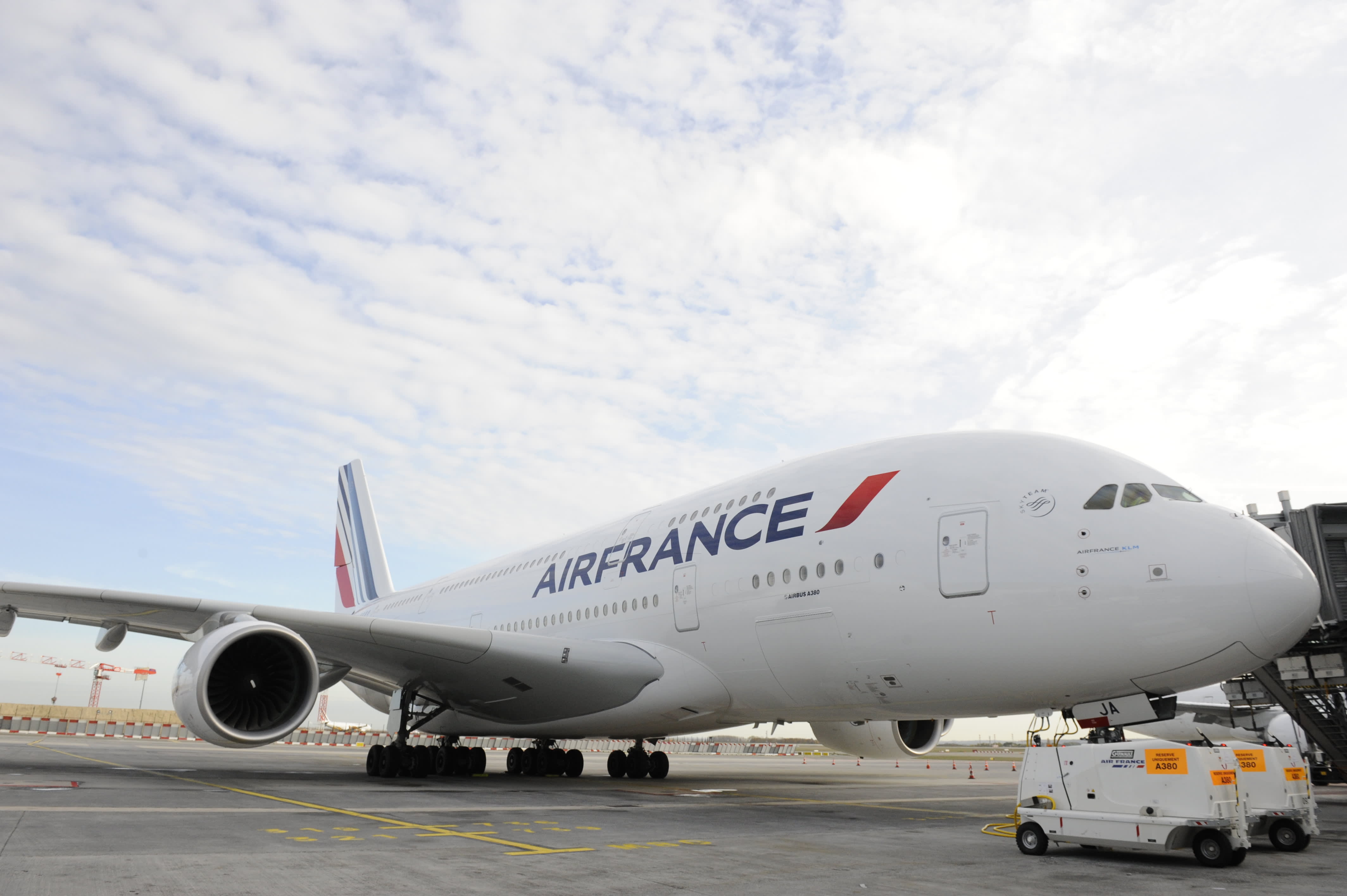 Air France-KLM bestelt nieuwe vliegtuigen
 Air France-KLM va commander un nouvel avion
 AW | 2019 02 20 12:30 | INDUSTRY
 A320NEO line improvement
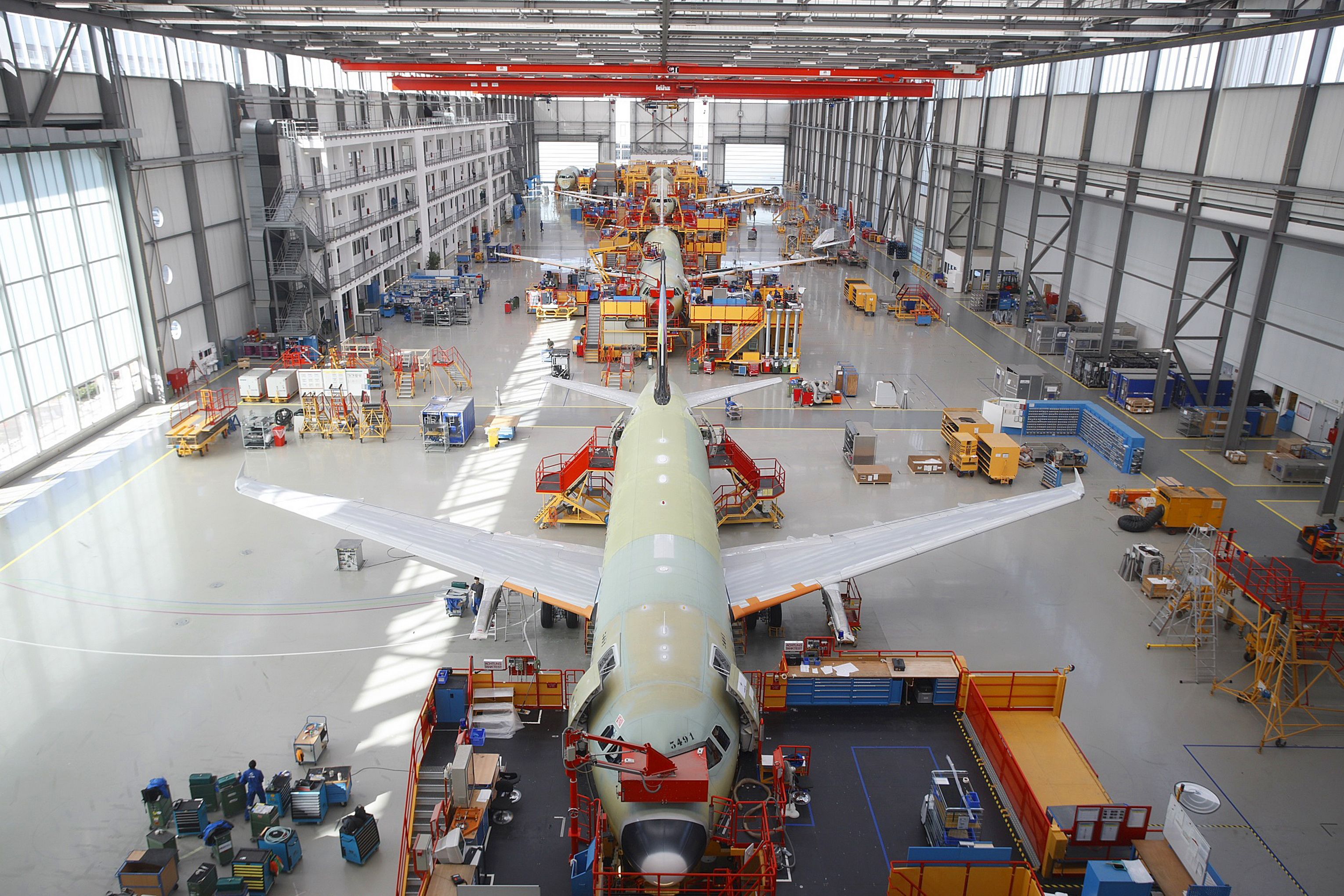
 Airbus faces Asian storm
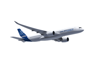
 AW | 2019 02 20 12:11 | AIRLINES
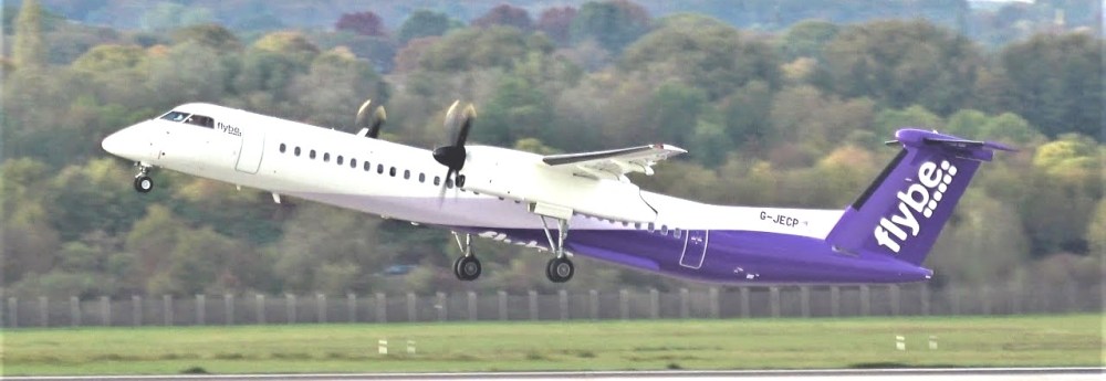
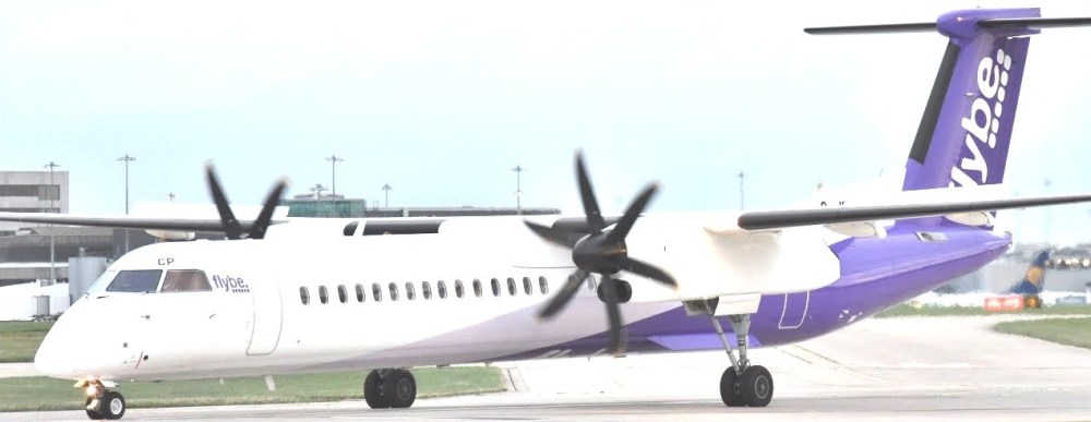 Proposed acquisition of Flybe
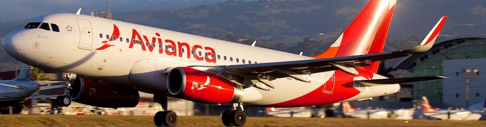 Avianca Perú reduces operations
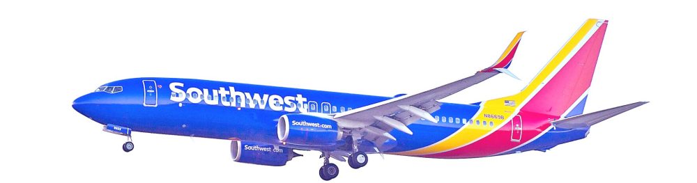
 FAA investigates overweights at Southwest
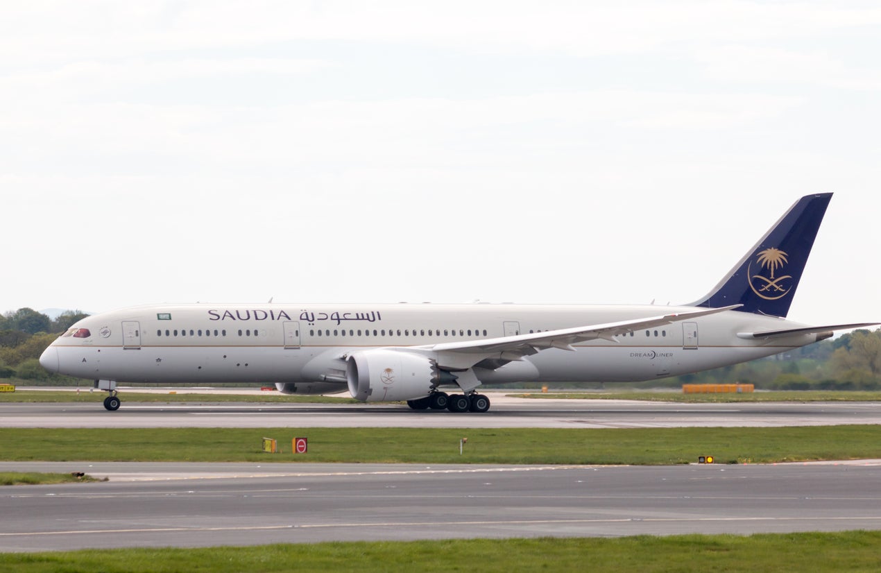 AW | 2019 02 20 11:05 | AIRLINES
 Saudi Arabian Airlines transporta a 34 millones de pasajeros en 2018
 Saudia 34 million passengers in 2018
